 |
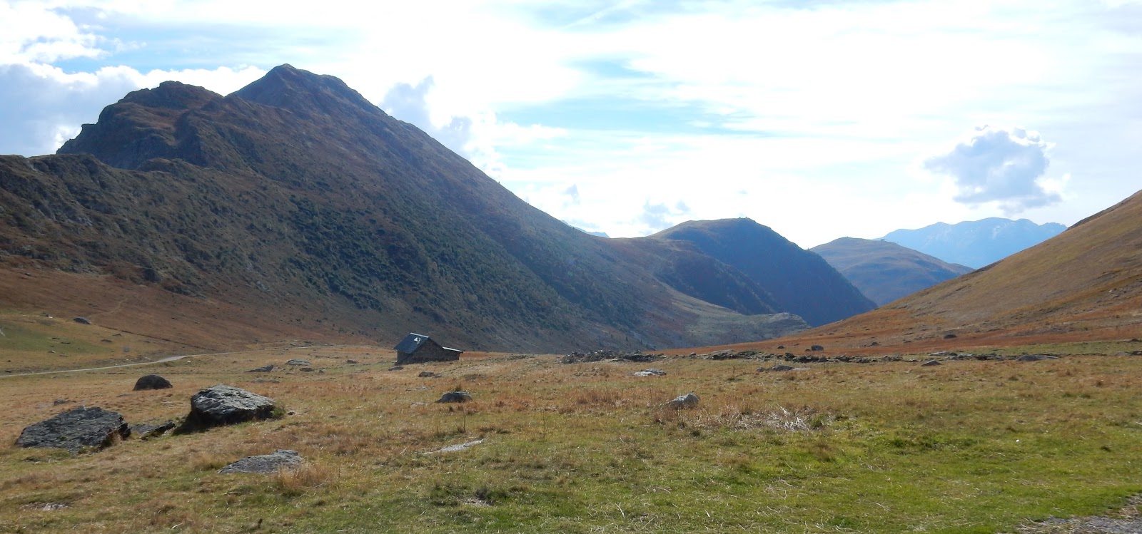
| Top of the Col de Sarenne |
So things this morning were going well until I finished breakfast. I had added on a bit extra to todays route but it took three blue screens of death on my tablet to transfer it over to Mr Garmin. Then once I was finally ready to go and headed off old Mr Garmin decided to keep just turning off by himself. Something was a bit screwy with it all but long story short I ended up actually getting started about 30 minutes late. I will come back to Mr Garmin later.
So straight off and literally around the corner from where I was staying was the start of the Col du Glandon. It is a toughy. Not because it is steep for very much, it is just that it is steep for the last 2km after climbing already for 18kms. The start itself is relatively OK at around 4% as you head up a valley next to a little stream. Once again it is all wooded so there is not much to see really. The roads are in really good condition though so the ride is nice.

As you head up the valley the gradient slowly gets higher and higher, up to about 8%. It was at this point I was feeling my legs quite a bit and I was beginning to worry how I would go all day. It probably was a combination of the last two days rides, and getting used to thee bags again, but when I started I actually felt fine. Oh well, no records today, I will just keep it ticking over and just keep things moving.
It is quite a way up before it all opens out. First you have to do a wee downhill with about 10kms to go, then you start to hit some farms, and then the road magically appears laid out before you down a valley. All the while the gradient has been hovering around 9%. What you can also see once the road goes straight though is the switchbacks that lead up to the top from the end of the valley. This is where it gets sporting! You have been chipping away at 9-10% relentlessly for quite a while and then the last 2kms it comes up 11-12%. A few % doesn't sound like much but it takes a lot more effort with ever pedal stroke that is for sure!

Then, just as you pop around the corner there it is, the top of the col, with a small parking lot and a sign perfect for getting pictures next to. I did have to endure a English speaking man talking to his friend about how many watts he averaged coming up the climb and how if he went any harder he would have we wouldn't have made it up here, which was really interesting when you are waiting for him to move his bike away from the sign whilst you are trying not to get too cold in the freezing wind. He did eventually move on though.

From there it was either straight down the other side, or take a 2.5km detour and see the Croix de Fer again. I loved the Croix de Fer and it wasn't very steep so I went that way. Was great a summit it a second time from the other side. Photo looks similar though.

So on with the warm cloths, down with a banana and cookie, and downhill we go! Unfortunately, it was not one of those great downhills, there are two uphills as you go which I was not overly keen on, especially the second one at 10%. The lake in the middle is quite pretty though.

When you finally reach the bottom it is a 10km flat ride to Le Bourg d'Oisans and the start of the Alpe d'Huez. As I was arriving in the town I was beginning to wonder if it was the 'iconic' climb it was supposed to be, or the over rated climb others have said it to be. I started with an open mind and expected a great song and dance all the way up with lots of paraphernalia around, writing on the roads, cyclists everywhere. Thats what all the pictures I had seen previously had shown! Well, it was about 2kms in before I saw another cyclist, and they were coming down. I did see some writing on the road but that was ore about who loved who than anything to do with cycling. As for paraphernalia, well there was some but it was not more than I had seen in recent days. Maybe it was because I was arriving outside of summer?

The climb starts hard and eases off, but that start is a quick and heavy warm up for sure! It then eases off and you slog away. It was a harder climb that I was expecting, but on the whole after the initial 'how's your father' at the bottom the gradient is fairly constant and you can get into a rhythm. Although, there is also a cheeky 13% very short bit about half way up. Actually, they didn't even have the signs with how far to go to the top or the gradient. They did have signs on every one of the 21 hairpins telling you how high you were though, and the names of previous winners of stages that ended there - with the very obvious deletion/removal of a certain someones name.
 |
| Looking down on some of the hairpins from about Dutchman's Corner (hairpin 7) |

I was quite knackered by now after climbing 3,000 hard metres, so I went to a place to see if I could it. It was 2pm and I wasn't holding my breath to be honest. Thankfully, the lady at the counter asked back to the kitchen and from what I understood as it was only me they could give me something, but only a burger. I was very greatful!
While I was waiting I had a think about the plan. I was wanting to get up a few kilometres further up the road to Lac Besson, and then over the Col de Sarenne. Unfortunately, with the speed I was climbing today something had to give as I was running out of time. I decided as all I would do if I wen to the lake was take a picture and turn around it was not worth the effort, so I decided on going straight on to Sarenne. After my burger, that is what I thought I was doing. I got the route from Mr Garmin and off I went.
 |
| Looking down from Huez |
 |
| Rugged |

There was a building at the top, and a sign, but that was about all. I only stayed long enough to dress up for the descent down the other side, which was slow because of the rough roads.

On the way down I saw this though which begged the question which came first?

So down I went around some lovely hairpins and fantastic scenery to the town I thought was big enough that I could find accommodation. Well I found a place, but they were full. It was the only place in town. Down the hill further I went to the next town, the place was empty and everything shut. Oh dear. I thought about continuing on the way I was going to head tomorrow but it was a while before the next town from memory. What I did know was that Bourg d'Oisans was only 14kms away and I knew I could find accommodation there, a safer bet even if it was the wrong direction. Well in the next town a few kilometres down the road, Le Freney d'Oisans, I did manage to find a place that was open (first place wasn't) and they had a room. Awesome.
However, I have now found out that the road to Briancon, where I want to go next, is closed because of a tunnel that was about to collapse. So, on to coming up with a new plan as all the roads that will get me there are all a massive detour adding a lot of kilometres. Will see what I come up with a bit later.
So, some tough climbs today. Happy that I have done the 'iconic' Alpe d'Huez but probably won't remember much of it other than I have done it, Sarenne was really a beautiful ride even if the road was a little rough, and Glandon was a tough climb that was challenging and rewarding. Even though some hiccups, was still a good day.
Highlight: The view from the other side of the Sarrenne was incredible, even if it didn't show too well in a photo.

Lowlight: That feeling when you have after realising you have gone 5kms down a steep hill that you need to climb back.
Lesson Learned: Something about Mr Garmin and the tablet did not work today, and I am unsure which one led me the wrong way as the route on the tablet was as planned but on Garmin was different. Maybe Mr Garmin was just trying to be helpful and take me a way that was off the main road? Maybe I should just use paper maps? Unsure.
Awesome! Impressive scenery too. M.
ReplyDeleteJust shows how you can't trust these new fangled computer things :)
ReplyDelete